Canada Maps Home > Canada Map Collection > British Columbia Map
Printable Map of British Columbia
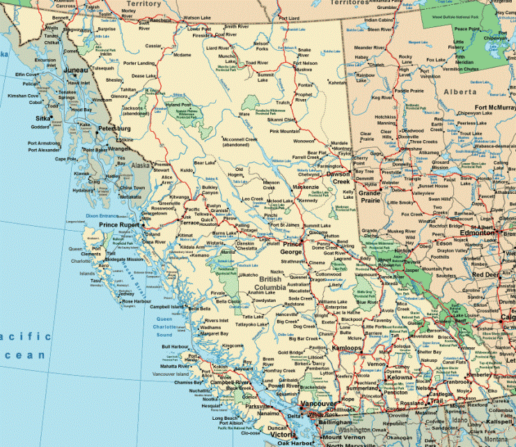
This map is a plain map presenting the layout of this scene with a simple assortment of features.
You can share this file and utilize it in your work. Giving credit to this webpage is considerate and well thought of.
In case you require assistance finding a map, a different kind of map, or require a great customized work, please contact YellowMaps.
Acquire great tailor-made maps from us. Custom maps made by YellowMaps cover a refreshing selection of map elements, like: roads, scale bar, coordinates, campsites, military area, springs, district municipalities, or river features, etc. Map types reach from orienteering to satellite, travel to research, block groups to urban growth areas.
Great maps are explicit, all-encompassing, and not obsolete. First-Rate map-making by YellowMaps.
To buy printed maps or charts, such as road atlases, maps of continents, or hiking maps, do not hesitate to dive into our online map store It contains over 100,000 maps.
Ever wondered why there are so many different maps around? Well, to cover the whole of North America at let's say 1:24,000 scale, you will need more than 100,000 maps. This would be millions of maps if you want to cover the whole earth at that scale. It's a big place!
Back to Canada map collection