Canada Maps Home > Canada Map Collection > Canada Political Map
Printable Map of Canada Political
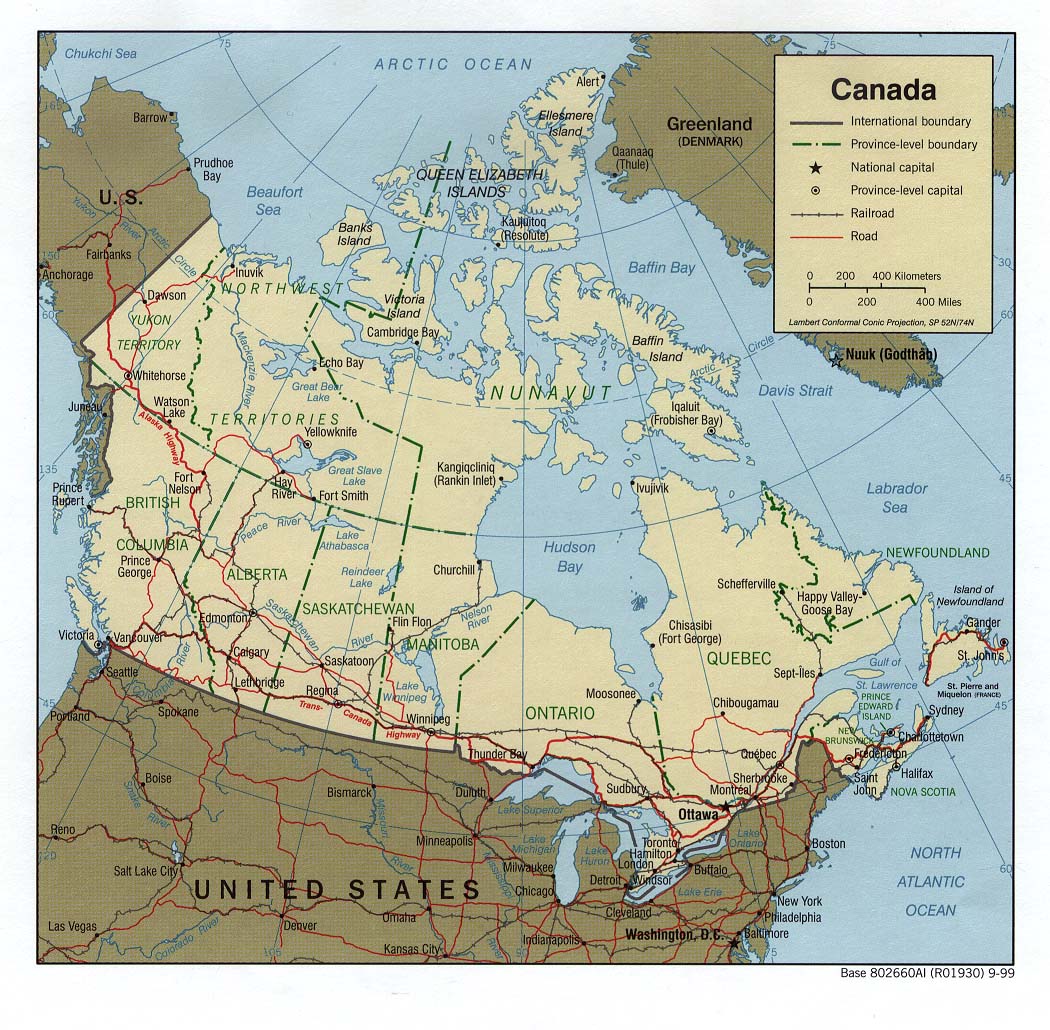
The map above is a basic picture outlining the spatial relationships of this region with a simple collection of elements.
Of course, you can view the map and make use of it for many purposes. Giving credit to this webpage is very much appreciated.
If you are hoping for support retrieving a map, a particular map, or are hoping for a good customized work, just email YellowMaps.
Buy tip-top tailor-made maps from us. A custom map made by us provide a refreshing collection of map elements, such as: backroads, scale bar, GPS coordinates, caves, marine navigation features, villages, craters, or rapids, etc. Map types range from economic geography to tourism, digital to hardcopy, county level to places.
Good maps are accurate, all-inclusive, and not out-of-date. First-Rate map production by YellowMaps.
To acquire hardcopy maps, for example recreation atlases, attractions maps, or topographic maps, just dive into our map store It has over 100,000 items.
Whatever map you need, just contact us - we usually respond right away, or within a few hours.
Back to Canada map collection