Canada Maps Home > Canada Map Collection > Wollaston Lake Map - IMW
International Map of The World: Wollaston Lake: IMW-no13
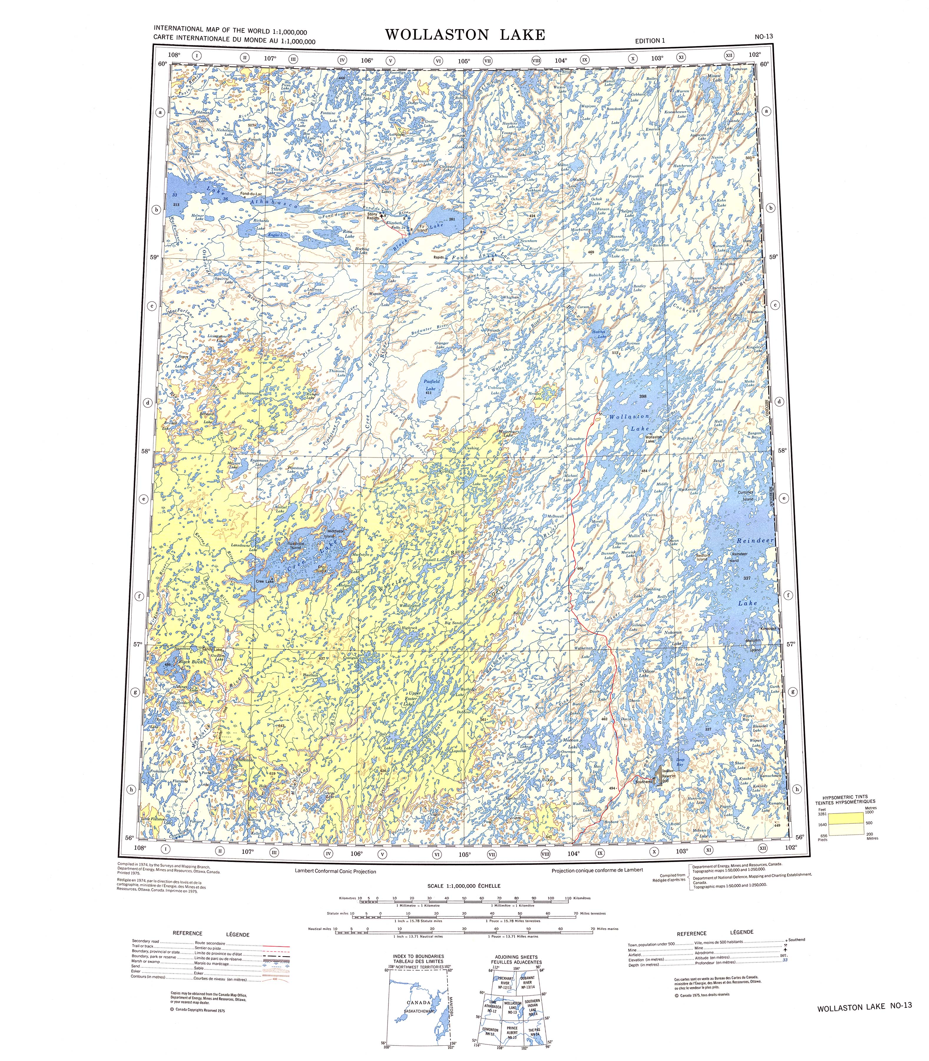
The above is a simple picture exhibiting the geography of this area with a simple array of features.
You may use the map image and utilize it in your projects. Citing this page would be awesome.
If you need help obtaining a map, a particular map, or need a good individualized production, you can contact YellowMaps.
Order high quality customized maps from us. Our custom maps contain a large variety of elements, such as: avenues, scale bar, UTM coordinates, caves, conservation areas, valleys, falls, or recreational sites, etc. Map types range from physical to relief, printed to electronic, regions to voting districts.
Good maps are succinct, current, and not unclear. Skillful cartography by YellowMaps.
To purchase hardcopy maps, e.g. wall maps, folded maps, or maps for kayaking, please explore our online map shop It contains more than 100,000 items.
When in doubt, just ask us. We answer emails quickly.
Back to Canada map collection