Canada Maps Home > Canada Map Collection > Ontario Map
Printable Map of Ontario
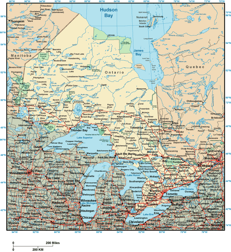
Above, you can see a classic map revealing the spatial layout of this neck of the woods with a simple group of elements.
You can download this web page and use it for many purposes. Citing this page would be helpful.
Supposing you are looking for support getting a map, a specific map, or are looking for a first-rate individualized creation, you can email YellowMaps.
Procure first-class custom-made maps from us. Custom maps made by YellowMaps contain a wonderful medley of map elements, e.g.: main arteries, legend, GPS coordinates, air navigation features, military area, valleys, glaciers, or recreational sites, etc. Types of maps run from physical to aerial, printed to electronic, state or province to economic places.
First-Rate maps are meticulous, elaborate, and not unclear. Finest map design by YellowMaps.
To purchase physical maps, such as recreation atlases, tourist maps, or topographic maps, do not hesitate to visit our online map shop It has thousands and thousands map products.
Maps are just so interesting.
Back to Canada map collection